Software tools - LAStools
Data Processing / LiDAR
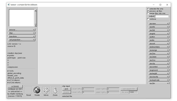
LAStools
LAStools
Publisher: Rapidlasso GmbH
Producer: Other
Platform: Windows
Requirements: ArcGIS, QGIS, ERDAS IMAGINE (if the user didn't choose the GUI version)
Software version: 2016
Status: Ready to use
Features:
LASTools is a collection of highly efficient, batch-scriptable, multicore command line tools to classify, tile, convert, filter, raster, triangulate, contour, clip, and polygonize LiDAR data (to name just a few functions). All of the tools can also be run via a native GUI and are available as a LiDAR processing toolboxes for ArcGIS versions 9.3, 10.0, 10.1, 10.2, or 10.3, for QGIS versions 1.8, 2.0, 2.2, 2.4, 2.6, 2.8, or 2.10, and for ERDAS IMAGINE versions 14.0 and 15.1.
LAStools are the fastest and most memory efficient solution for batch-scripted multi-core LiDAR processing and can turn billions of LiDAR points into useful products at blazing speeds and with low memory requirements. For seamless processing of large amounts of LiDAR we further offer the BLAST extension of LAStools.